
It is too often forgotten that the founders of Memphis gave the community an easement for public use to a large tract of land known as the Public Promenade. The area includes what is now the whole waterfront between Beale and the A.W. Willis Bridge, including the west side of Front Street. The Promenade has been obscured in lawsuits over use and ownership for decades, including a 1955 Tennessee Supreme Court definition of air rights when parking garages were to be built on the river front. Today, The Riverfront Development Commission is under contract by the City of Memphis to oversee and protect the City’s interest for part of the City’s riverfront, but not all of the original public easement of the Promenade.

Downtown Memphis, Tennessee is the central business district of Memphis, Tennessee and is located along the Mississippi River between Interstate 40 to the north, Interstate 55 to the south and I-240 to the east, where it abuts Midtown Memphis.

Confederate Park Front St.
It is home to the Memphis Redbirds, the AAA affiliate of the St. Louis Cardinals, and the Memphis Grizzlies NBA team.

History:
Downtown is the oldest part of the city and includes the riverfront and the bluffs overlooking the Mississippi river. The founders of Memphis dedicated the riverfront to the public "now and forever" as long as the public use continued. The land overlooking the riverfront was originally planned to become a "public promenade" to be called Mississippi Row. The upper riverfront became the site of the river landing where steamboats were loaded with cotton and other goods in the 19th and early 20th centuries. Between 1844 and 1886 the river landing was paved with limestone and granite cobblestones brought in from the upper Midwest. This created what is today the largest intact Mississippi River landing still in existence, and is listed on the National Register of Historic Places.[1] The explosion of the steamboat Sultana in 1865 near Memphis was one of the worst marine disasters in history.

The Memphis river landing (1906)
There are several historic residences downtown, particularly in the Victorian Village neighborhood. Other historic homes include the Hunt-Phelan House (1830), the Magevney House (ca. 1835) and the Burkle Estate (1849). The Burkle home and the Hunt Phelan House (533 Beale Street) were reputed to have been part of the underground railroad by which escaped slaves made their way to freedom prior to the Civil War.

Memphis Queen
Downtown Airport:
In 1959, the Memphis Downtown Airport was opened on Mud Island, which at that time was called City Island. The one-runway airport could be reached by a pontoon-boat ferry and was used mostly by businessmen and shoppers. The Downtown Airport was closed in 1970. It was replaced in the 1990's by the new urbanist Harbor Town development.
Buildings:

Jefferson Davis Park
The Downtown Memphis skyline contains the tallest buildings in the city. The tallest building in Memphis, 100 North Main, is located at the heart of downtown along Main Street at Adams Ave and rises to 430 ft (131m). Some notable and/or historic downtown buildings are:
- 100 North Main
- One Commerce Square
- Sterick Building
- Exchange Building, Memphis
- Morgan Keegan Tower
- First Tennessee Building
- Memphis Pyramid
- Peabody Hotel
- Madison Hotel
- FedExForum
- Central Station
- 201 Poplar
Downtown Memphis consists of 8.4 million square feet (780,000 square meters) of office space, around 1 million square feet (93,000 square meters) of retail space, 3,456 hotel rooms, and 13,400 housing units.

Tom Lee Park
The administrative core of Memphis and Shelby County is also located in Downtown Memphis. These include the Memphis City Hall, and the Federal Building, located on North Main Street, in the Civic Center Plaza (corner of Main Street and Washington). Downtown Memphis also contains the Memphis branch of the Federal Reserve Bank of St. Louis.
Downtown Core:

Beale Street Landing
Downtown Core is the heart of the central business district and includes the majority of office space, retail, entertainment and dining spaces. It is a popular regional destination for entertainment, dining, and tourism and includes attractions such as Beale Street, FedExForum, AutoZone Park, and the Peabody Hotel.

Harahan Bridge from Martyrs Park
Districts And Neighborhoods:
- South Main Arts District
- Medical District
- Pinch District
- Peabody Place
- Beale Street
- South Forum (SoFo)
- Uptown
- Greenlaw
- Harbor Town
- The Edge
- Victorian Village
- South Bluffs
- Fort Pickering
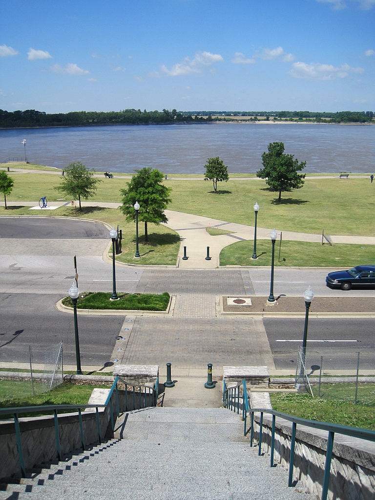
Downtown Memphis is located on the banks of the Mississippi River. The Memphis Riverfront stretches from the Meeman-Shelby Forest State Park in the north, to T. O. Fuller State Park in the south.
The River Walk is a park system along the Mississippi River that connects the Mississippi River Greenbelt Park in the north, to Tom Lee Park in the south.

Mississippi River Greenbelt Park
Points of interest along the riverfront
- Chickasaw Bluff at Beale Street Landing
- Riverfront Trolley
- Mud Island
- Harbor Town
- Pinch District
- Steamboats
- Ashburn-Coppock Park
- President's Island
No comments:
Post a Comment